Sorry again for delay, but I want to finally do this tomorrow (Friday). I got test data from Landscape Height Maps - Motion Forge Pictures , nice big PNG and OpenEXR images with 16-bit data. Using ImageMagick I also converted them to 16-bit TIFF, so I have all test data I need.
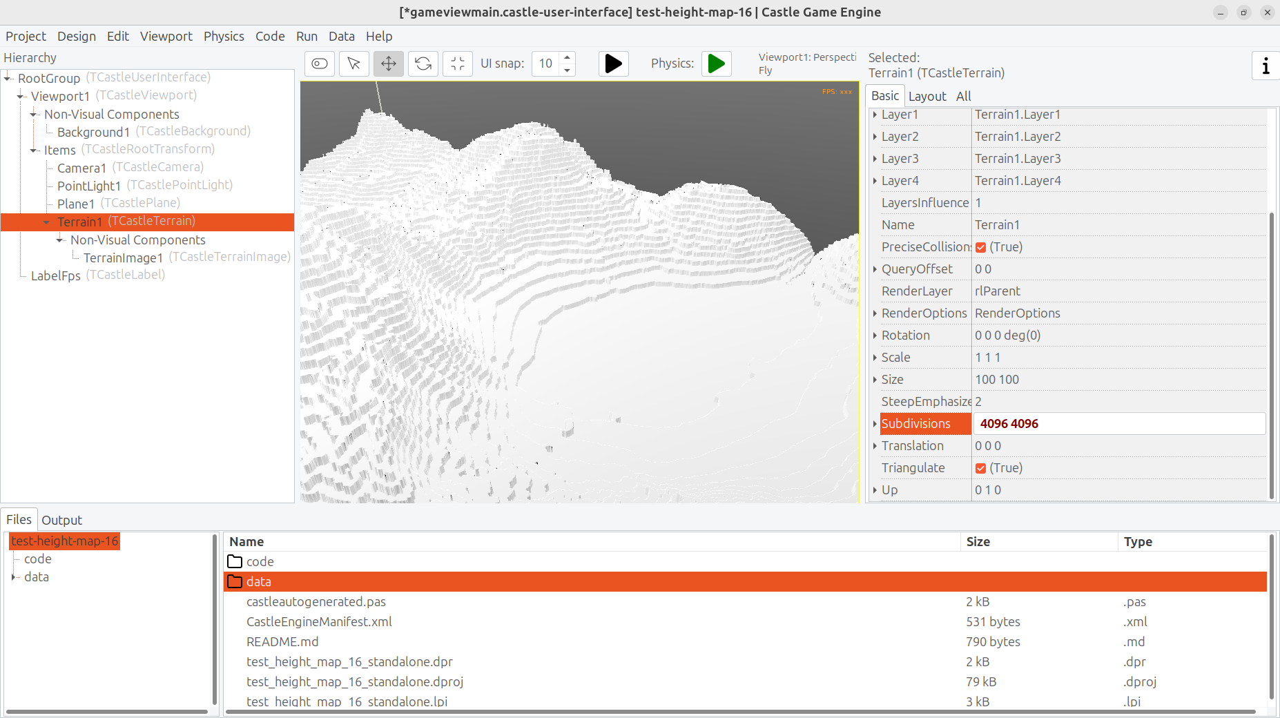
As expected, when I load them today, with heights precision beyond 8-bit lost, I can clearly see the layers – because I sample lots of points in XZ, and they all result is the same Y around. This is what will be solved by reading 16-bit PNG/TIFF → TGrayscaleFloatImage.